|
|
|
|
|
|
Around Rydal and above Windermere.Following an ascent of Binsey last Thursday, on Saturday we took a stroll from White Moss
Common following the old road above Rydal Water and rturning to White Moss along part of the Old Coffin Route
from Grasmere to Ambleside. You have to know wher to park for this walk as the bigg car park at White Moss Common
is exorbitantly expensive at £3.00 for an hour. And the Tourist Board is trying to encourage even more folk to visit
the Lake District. Today we walked through Ambleside and followed the popular Skelghyll Lane that takes you to the
viewpoint of Jenkyn's Crag and if you continue along it eventually leads you to Troutbeck. As usual all the
places mentioned can be found on the OS Explorer Map OL7 English Lakes SE.
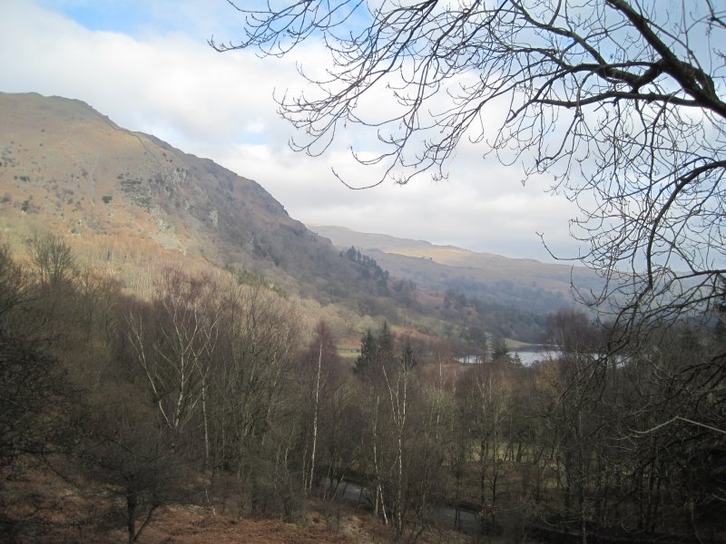
The shoulder of Loughrigg Fell from the old road from Rydal to Grasmere.
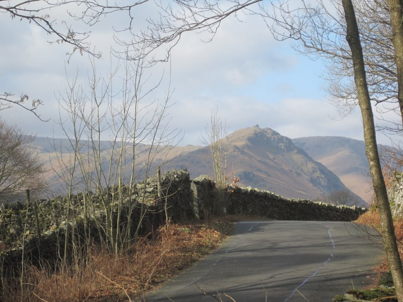
Looking along the old road to Helm Crag and Steel Fell.
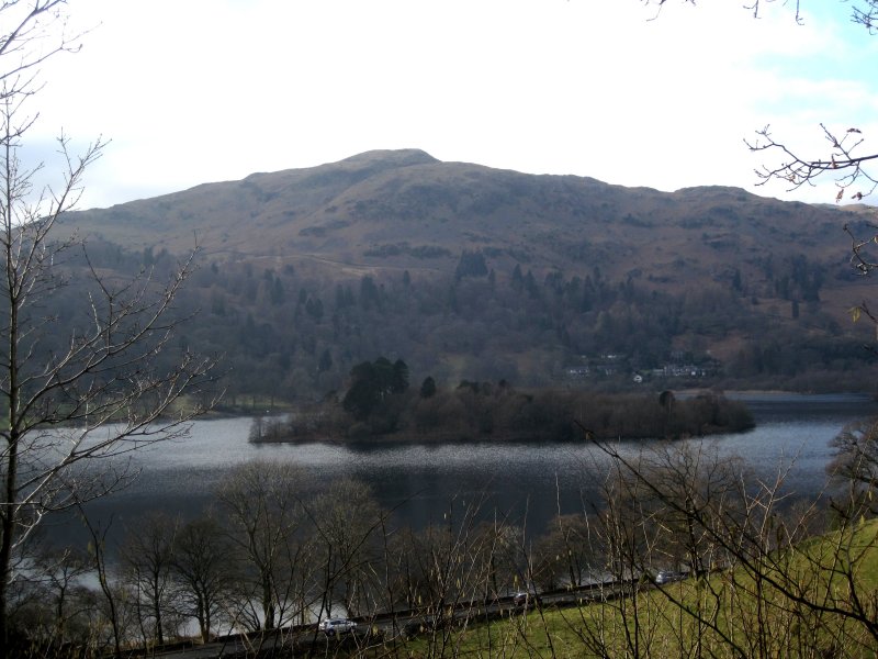
Silver How seen across Rydal Water.
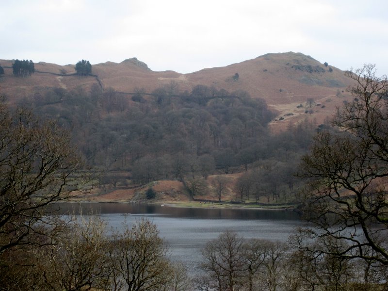
Loughrigg and Rydal Water from the path down to White Moss.
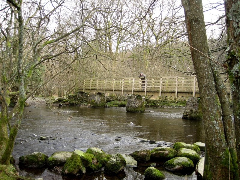
The bridge over the R.Rothay between Grasmere and Rydal Water.
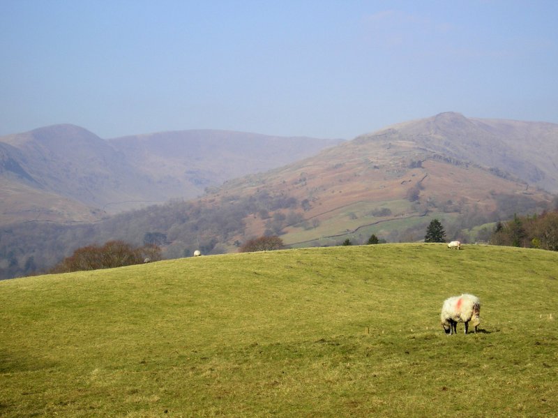
The Fairfield Horseshoe from Skelghyll Lane.
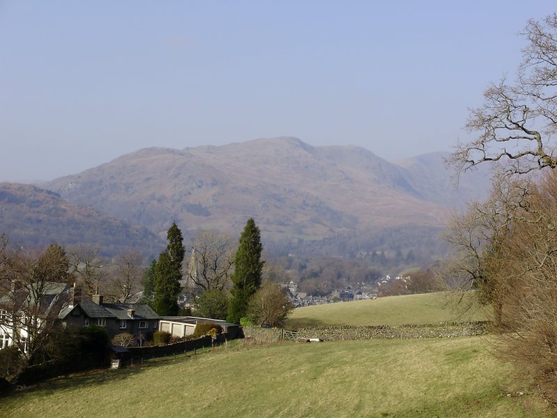
Looking over Ambleside towards Nab Scar at the western end of the Fairfield Horseshoe.
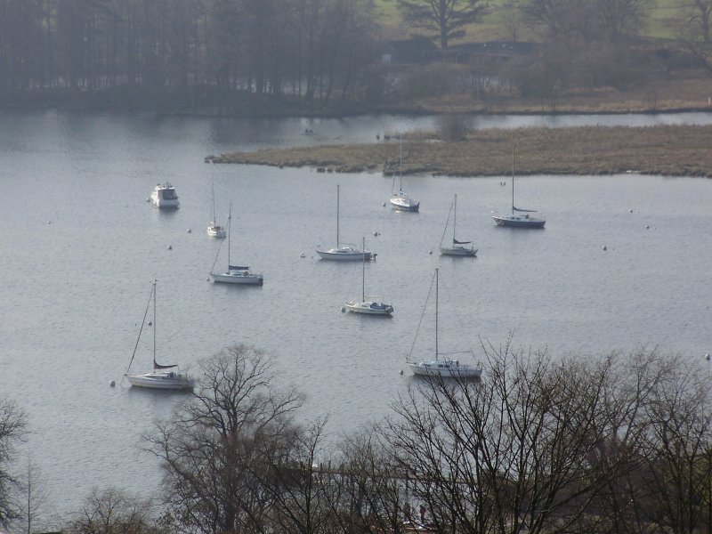
And finally......From Skelghyll Lane ,Moorings in Waterhead Bay at the head of Windermere.
.
Click here
to recommend this site to a friend. |
|
|
|
|
|
|
|
| Back | |
|
|
|
|
|